GUWAHATI: Assam and Arunachal Pradesh will lose massive forest cover
by 2028 even affecting the ecology of neighboring country Bhutan.
Predicting such loss, the Indian Institute of Remote Sensing
(IIRS) has identified increasing human population and subsequent demand
on land for cultivation as the major reasons for forest cover depletion
in Assam and Arunachal Pradesh.
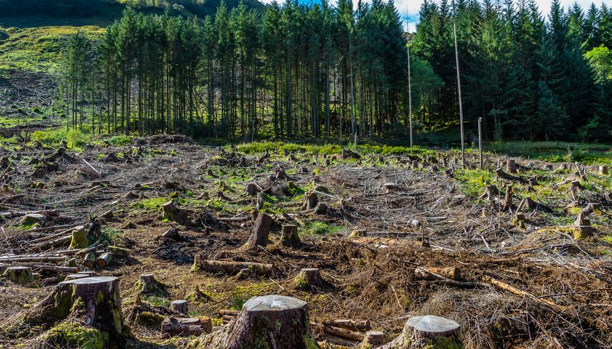
A study carried out by the IIRS has predicted a depletion of 9,007.14 square km (2.94 percent) of forests in parts of Assam and Arunachal Pradesh by 2028. It says deforestation and loss of wildlife habitat in Assam and Arunachal Pradesh will not only affect both the States but also adjoining Bhutan.
Scientists
involved in the study said they monitored the depletion of forest cover
in parts of Assam and Arunachal Pradesh over 42,375 square km in an
elephant landscape falling in the Lesser Himalaya region in the North
East.
“More districts of Assam than Arunachal Pradesh and more plains than
hills faced deforestation. We have identified increasing human
population and subsequent demand on land for cultivation as major
reasons for forest cover depletion. With the highest rate of
deforestation (in the Assam-Arunachal area) in India, the study area can
also be addressed as the deforestation hotspot of India,” the study
says.
According to the study the annual rate of deforestation was
found to be higher in Assam than Arunachal Pradesh primarily due to the
latter’s inhospitable mountainous terrain. Barpeta district in lower
Assam has witnessed the highest deforestation followed by Dhemaji,
Tinsukia, Lakhimpur, Darrang, Dibrugarh and Sonitpur during the study
period.
Area-wise, the largest amount of forest cover loss was noticed in
Dhemaji (1,419.99 square km) followed by Sonitpur (825.85 square km),
Lohit in Arunachal (820.61 square km), Tinsukia (662.28 square km) and
Lakhimpur (635.15 square km).
Wildlife activists said lack of forest cover will bring further chaos from food and water security point of view in Assam. (Source: The Sentinel)


